The Dangerous Fiction of Legacy Drawings
When an industrial facility or production plant schedules a machinery upgrade, a pipe infrastructure retrofit, or an electrical switchgear replacement, the engineering process always begins the same way: the project team requests the original "as-built" CAD drawings from the archive.
But in the heavy industrial sector, an unwritten rule quickly surfaces: legacy drawings are a work of fiction. Over five, ten, or twenty years of active plant operations, thousands of minor, undocumented adjustments occur. Maintenance crews reroute a chemical line by six inches to clear a structural beam. Electricians mount a new control panel directly to a concrete pillar. Structural columns settle slightly, altering floor levels. None of these micro-alterations are ever back-drafted into the master CAD file.
If your engineering vendors design a multi-million dollar equipment retrofit based on these theoretical drawings, the discrepancies will catch up to you during installation. Discovering that a pre-fabricated stainless steel header pipe is three inches too long because a real-world structural wall isn't exactly where the drawing said it was causes massive project delays, expensive field modifications, and extended, unplanned facility downtime.
Capturing the Absolute Physical Ground Truth
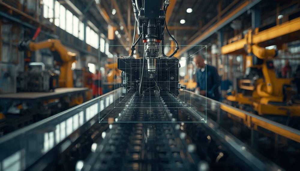
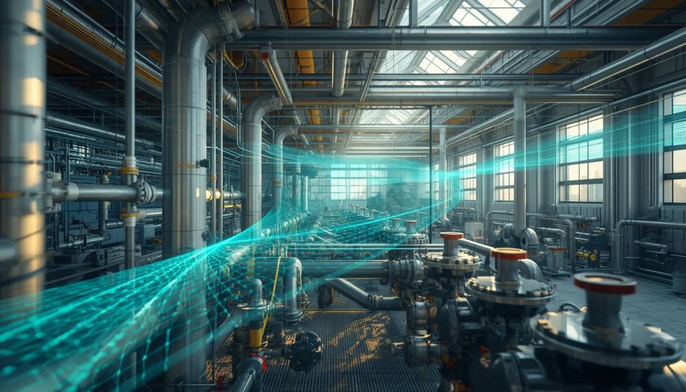
To eliminate the risk of structural collisions and installation errors, progressive plant managers are abandoning historical documentation in favor of active 3D plant floor mapping. Berl View does not deal in blueprints, animations, or hypothetical software models. We bring specialized scanning systems onto your active, physical production floor to capture the absolute ground truth exactly as it stands today.
Instead of generating a massive, highly complex engineering point-cloud file that requires high-performance workstations and specialized CAD software just to open, Berl View processes the physical space into a 100% browser-native 3D digital twin.
With a simple web link, internal engineering teams, corporate executives, and external fabrication vendors can instantly step inside the physical plant. They can navigate the rafters, inspect the exact clearance around an active industrial boiler, and take highly accurate spatial measurements right from a standard laptop or tablet.
The Analytics: The True Cost of Design Errors
The economic justification for mapping real, physical industrial assets is backed by clear operational data from field engineering studies:
- 50% Reduction in Field Verification Time: Traditional project planning requires engineers to spend weeks traveling to a plant, climbing scaffolding, and manually verifying dimensions with tape measures and lasers. Accessing a real-world 3D twin slashes field verification hours by half (iFactory AI, 2026).
- Up to 10% Savings on Total Project Budgets: By completely eliminating spatial conflicts, interference errors, and on-site re-fabrication work, industrial enterprises routinely save between 5% and 10% on the total capital expenditure of a facility upgrade (iFactory AI, 2026).
- Zero Disruption to Operations: Berl View maps your physical infrastructure in a single day with minimal disruption to your active workforce, turning your physical facility into a permanent digital reference asset.
Seamless Collaboration for Global Teams
For manufacturing operations with corporate engineering teams based overseas, managing a local plant renovation is an expensive logistical challenge. Flying technical experts back and forth for site walkthroughs drains travel budgets and slows down decision-making.
A browser-native 3D map serves as a single, undisputed source of truth. Remote stakeholders can hold virtual design reviews, walk the active production floor together digitally, and verify exact machinery positioning with absolute confidence.
By layering information tags onto physical valves, electrical panels, or structural supports within the tour, you can link assets directly to real-time maintenance logs or operations manuals. You aren't just looking at a drawing of a plant; you are interacting with your actual facility.